
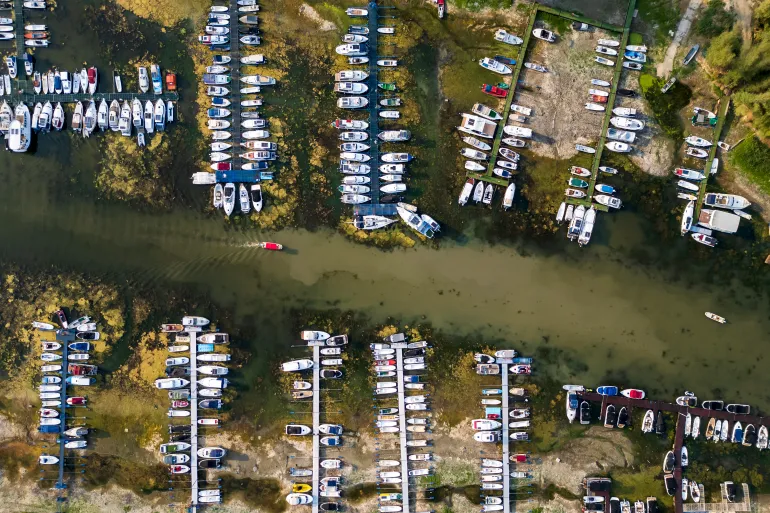
Recent satellite analysis reveals a dramatic worsening of drought conditions across Central and Western Europe. This with nearly half of the continent’s land area affected and approximately 9 percent reaching official alert levels. Continued high temperatures and prolonged dry weather have caused critical waterways. Including the Loire, Po, Rhine, and Danube rivers to drop to record-low levels, exposing vast sandbanks and gravel beds within channels that are typically submerged.
The environmental and economic consequences of this hydrological deficit are widespread. In Germany, shrinking water levels along the Rhine have disrupted commercial shipping and inland navigation. Meanwhile forcing vessels to operate with significantly lighter loads or face total halt at critical bottlenecks. In France and Italy, river management authorities have been forced to execute early emergency interventions to sustain minimum flows for agricultural irrigation and energy production. Beyond major river basins, severe soil moisture loss has altered landscapes across major urban centers. In short, turning prominent green spaces and parks brown across southern England, Austria, and Central Europe following historic rain deficits.
The satellite evidence underscores an escalating hydrological crisis that threatens essential European infrastructure, agriculture, and municipal water security. With monitoring agencies forecasting persistent dry conditions into the autumn. Ultimately, the widespread drying of major river systems highlights the growing vulnerability of continental supply chains, energy networks, and food production to severe, climate-driven weather anomalies.
Reference
Al Jazeera Staff. (2026, August 16). New satellite images show Europe’s disappearing rivers due to drought. Al Jazeera. https://www.aljazeera.com/news/2026/8/16/new-satellite-images-show-europes-disappearing-rivers-due-to-drought